DroningPro

Drone flight services.

Contact us!

About

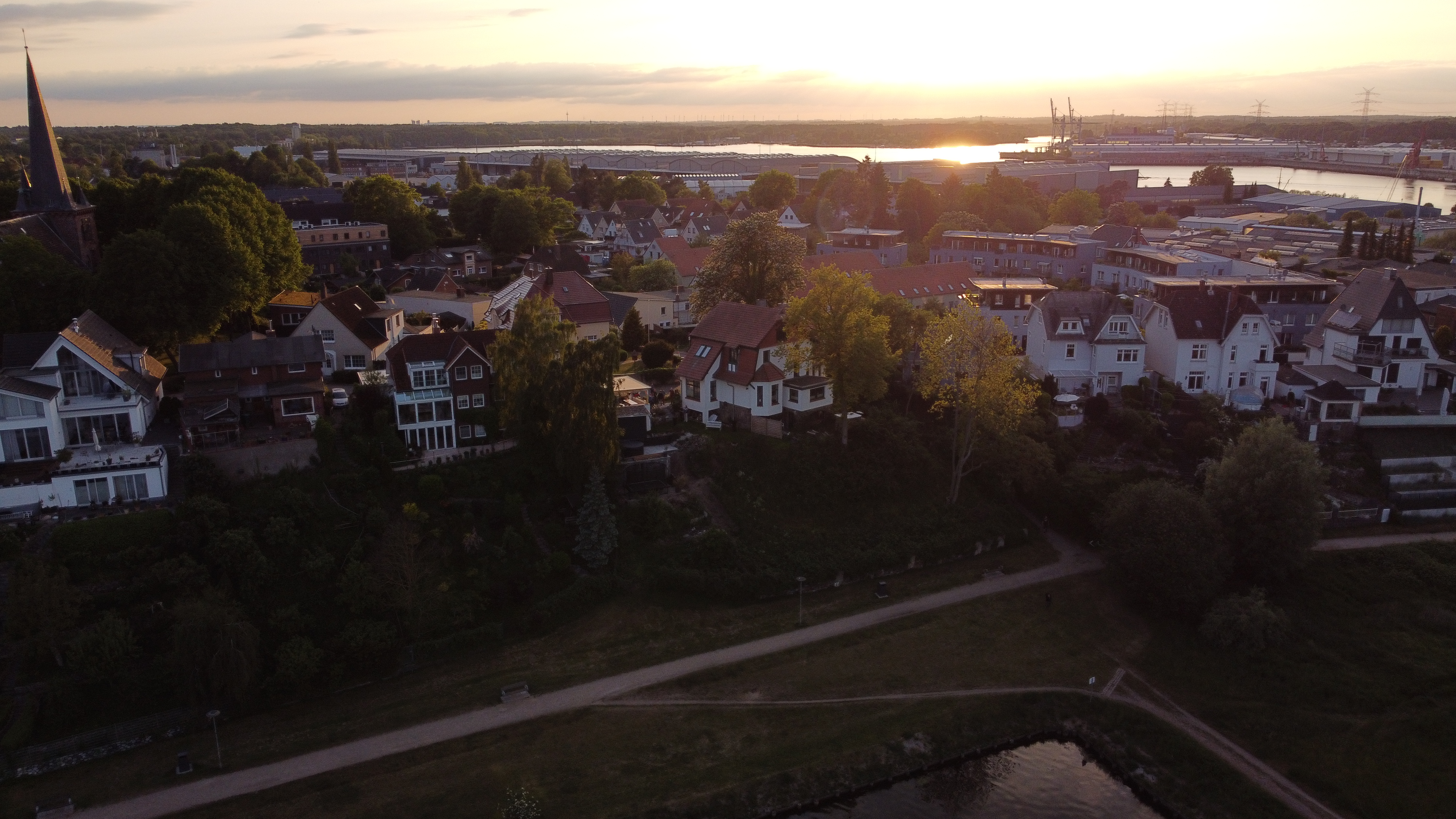
My name is Joris Krantz, and I am an enthusiastic drone pilot with a true passion for aerial photography. A few years ago, I embarked on my journey as a drone flyer, and I am proud to say that I have earned my A1, A2, and A3 certificates. These certifications allow me to fly anywhere in Europe, except in designated no-fly zones, ensuring that I adhere to all safety regulations. With my drones, I capture breathtaking images that showcase the world from a unique and captivating perspective. Join me in discovering the awe-inspiring beauty that awaits us from above!

Joris (me) looking into the drones camera!
...
...

Misty

Capturing the majesty of nature from new heights. Behold the breathtaking vista as the serene landscape embraces the ethereal beauty above the clouds, inviting us to dream and explore beyond our limitations.

...

Mountains

Capturing the majesty of nature from new heights. Behold the breathtaking vista as the serene landscape embraces the ethereal beauty above the clouds, inviting us to dream and explore beyond our limitations.

Services


Family Pictures
Family and holiday Pictures

Take your family and holiday pictures to new heights with our drone photography services. Capture stunning aerial shots that will truly make your memories soar. Whether it's a beach vacation, a family gathering, or a special celebration, our skilled drone pilots will help you create unique and unforgettable moments that showcase the joy and beauty of your cherished times together.

Roof inspection
Roof inspection

Empower your roof inspection process with cutting-edge drone technology and 3D models. Our services provide in-depth aerial imagery and precise 3D representations, allowing for thorough assessments of roofs. By leveraging this advanced approach, homeowners, insurance companies, and contractors can detect and address potential issues swiftly, ensuring effective maintenance and informed decision-making.

Surveying and Mapping

Unlock the potential of terrain scanning and mapping with our drone-based solutions. By utilizing advanced aerial technology, we capture detailed imagery and generate accurate 3D maps of terrain, enabling industries such as construction, land management, and infrastructure development to gain invaluable insights for planning, analysis, and decision-making. Streamline your operations, identify optimal locations, and maximize efficiency with our comprehensive drone-based terrain scanning and mapping services.


Surveying and Mapping
Agriculture

By analyzing agriculture drone pictures and conducting plant inspections, farmers can gain valuable insights into crop health and identify areas requiring attention. This data-driven approach allows for targeted interventions, optimizing resources, and maximizing yields for a more sustainable and efficient farming operation.

Surveying and Mapping
3D modeling

Experience the power of 3D modeling with our drone services. From capturing aerial imagery to delivering detailed 3D models, we help you visualize landscapes, assess infrastructure, and unlock new possibilities for planning, analysis, and decision-making.

Surveying and Mapping
House sales

Harness the potential of drone images and immersive 3D models to elevate your real estate sales. Showcase properties from unique angles, provide virtual tours, and offer prospective buyers a captivating and realistic experience that helps them envision their future home with unparalleled clarity.


Location


Nijmegen, Nederland

Phone


+31 6 25561310