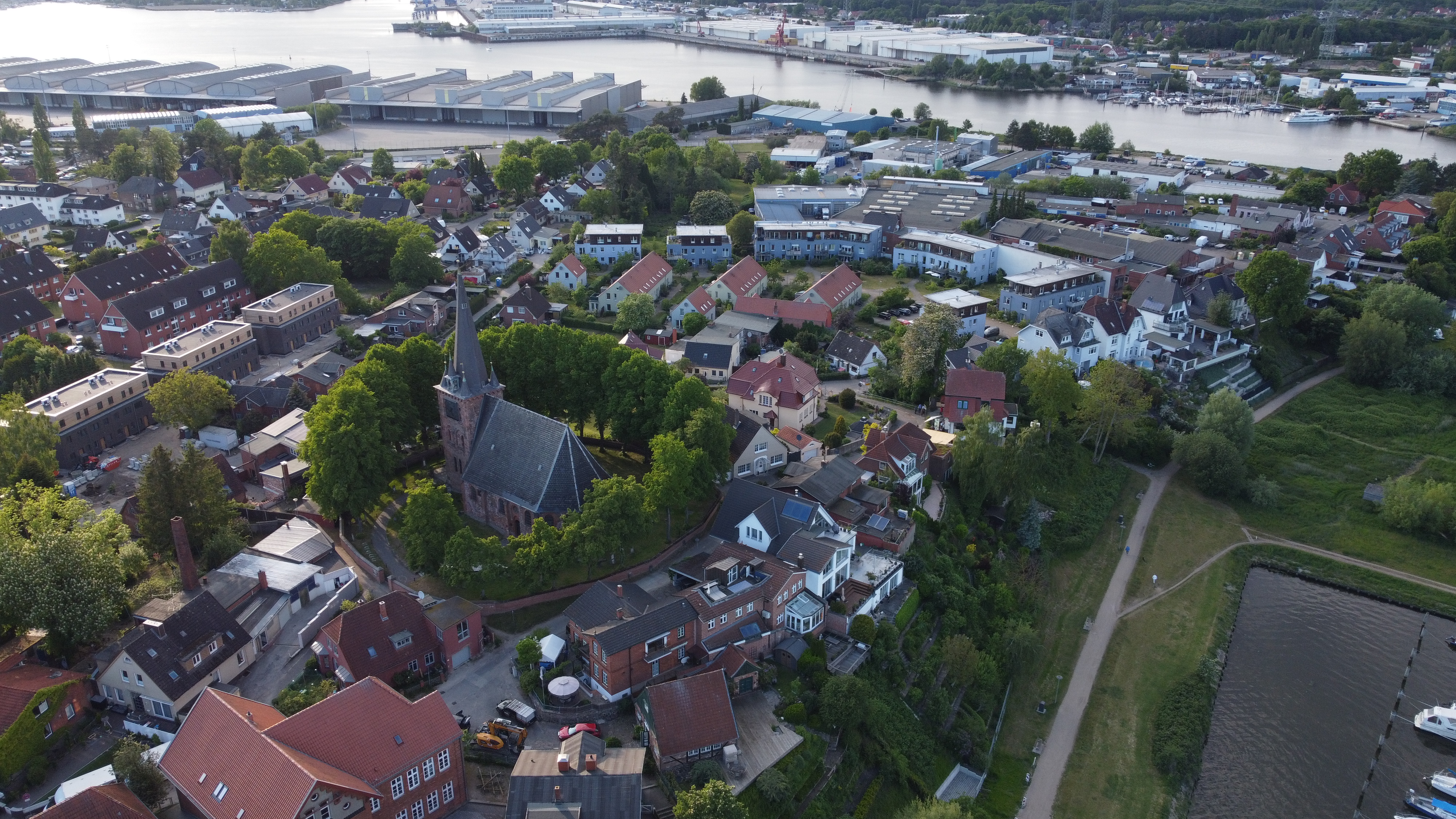
Mijn naam is Joris Krantz en ik ben een enthousiaste dronevlieger met een ware passie voor luchtfotografie. Een paar jaar geleden ben ik begonnen met dronevliegen en sindsdien heb ik mijn A1, A2 en A3 certificaten behaald. Met mijn drones leg ik adembenemende beelden vast, waarmee ik de wereld vanuit een uniek perspectief laat zien. Ontdek samen met mij de schoonheid vanuit de lucht!
Bewonder de betoverende zonsondergang in Duitsland, vastgelegd door Joris Krantz tijdens zijn luchtfotografie avonturen. Met volledige toestemming om in alle EU-landen te vliegen, legt Joris de prachtige kleuren en serene schoonheid van het landschap vast. Reis mee naar verborgen pareltjes en ontdek de wereld vanuit een uniek perspectief.
Het vastleggen van de grootsheid van de natuur vanuit nieuwe hoogten. Aanschouw het adembenemende uitzicht waar het serene landschap de etherische schoonheid boven de wolken omarmt, ons uitnodigend om te dromen en te verkennen voorbij onze beperkingen
Omarm de grootsheid van ongerepte bergtoppen terwijl de symfonie van de natuur fluistert door de heldere berglucht, nodigt het je uit om troost te vinden in de grootsheid van de ongetemde wildernis.
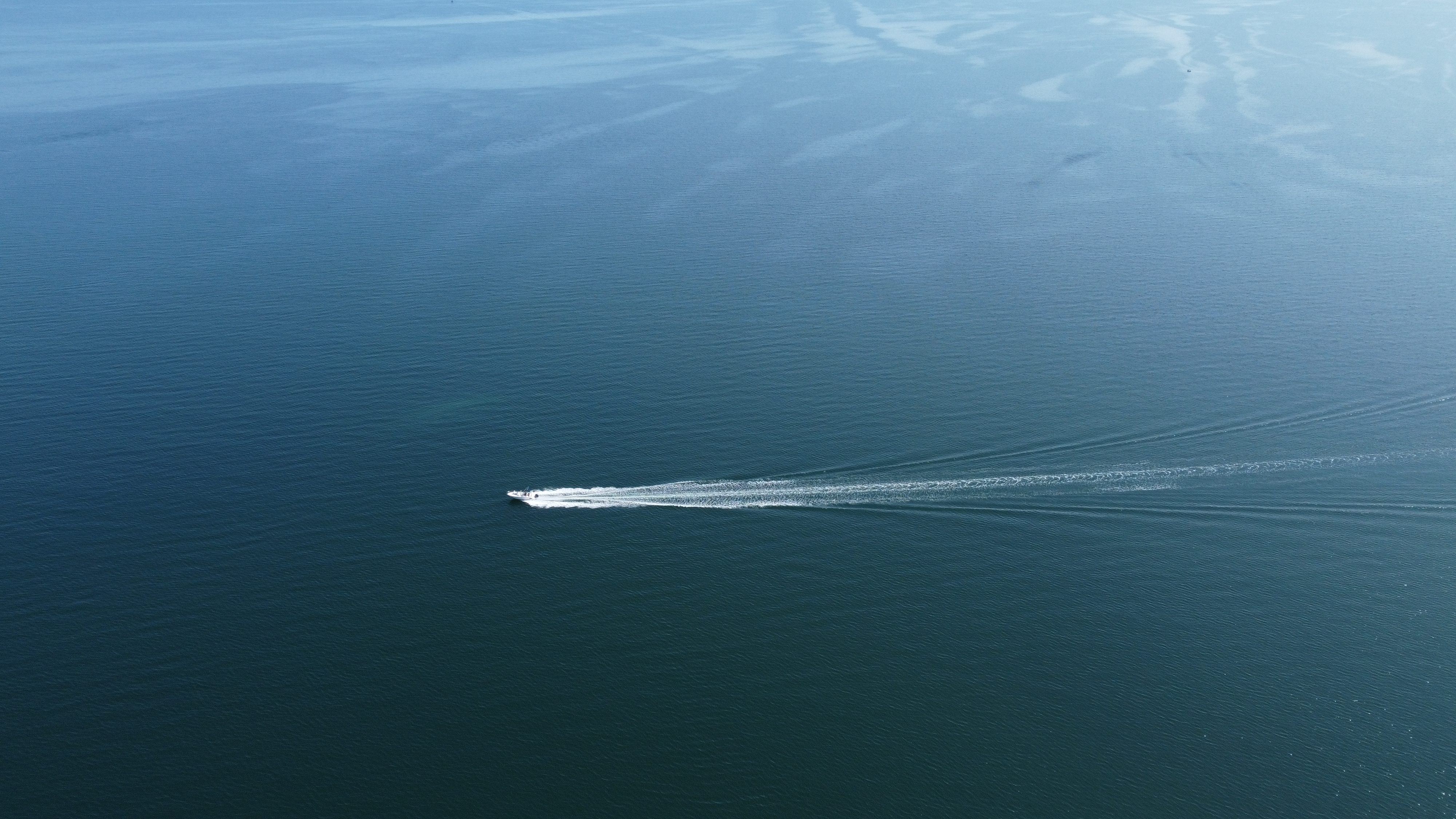
Take your family and holiday pictures to new heights with our drone photography services. Capture stunning aerial shots that will truly make your memories soar. Whether it's a beach vacation, a family gathering, or a special celebration, our skilled drone pilots will help you create unique and unforgettable moments that showcase the joy and beauty of your cherished times together.
Empower your roof inspection process with cutting-edge drone technology and 3D models. Our services provide in-depth aerial imagery and precise 3D representations, allowing for thorough assessments of roofs. By leveraging this advanced approach, homeowners, insurance companies, and contractors can detect and address potential issues swiftly, ensuring effective maintenance and informed decision-making.
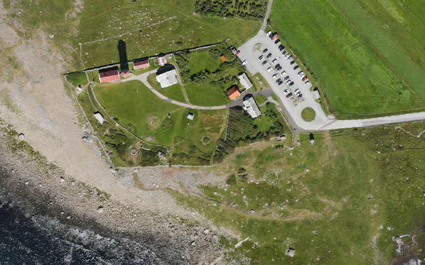
Unlock the potential of terrain scanning and mapping with our drone-based solutions. By utilizing advanced aerial technology, we capture detailed imagery and generate accurate 3D maps of terrain, enabling industries such as construction, land management, and infrastructure development to gain invaluable insights for planning, analysis, and decision-making. Streamline your operations, identify optimal locations, and maximize efficiency with our comprehensive drone-based terrain scanning and mapping services.
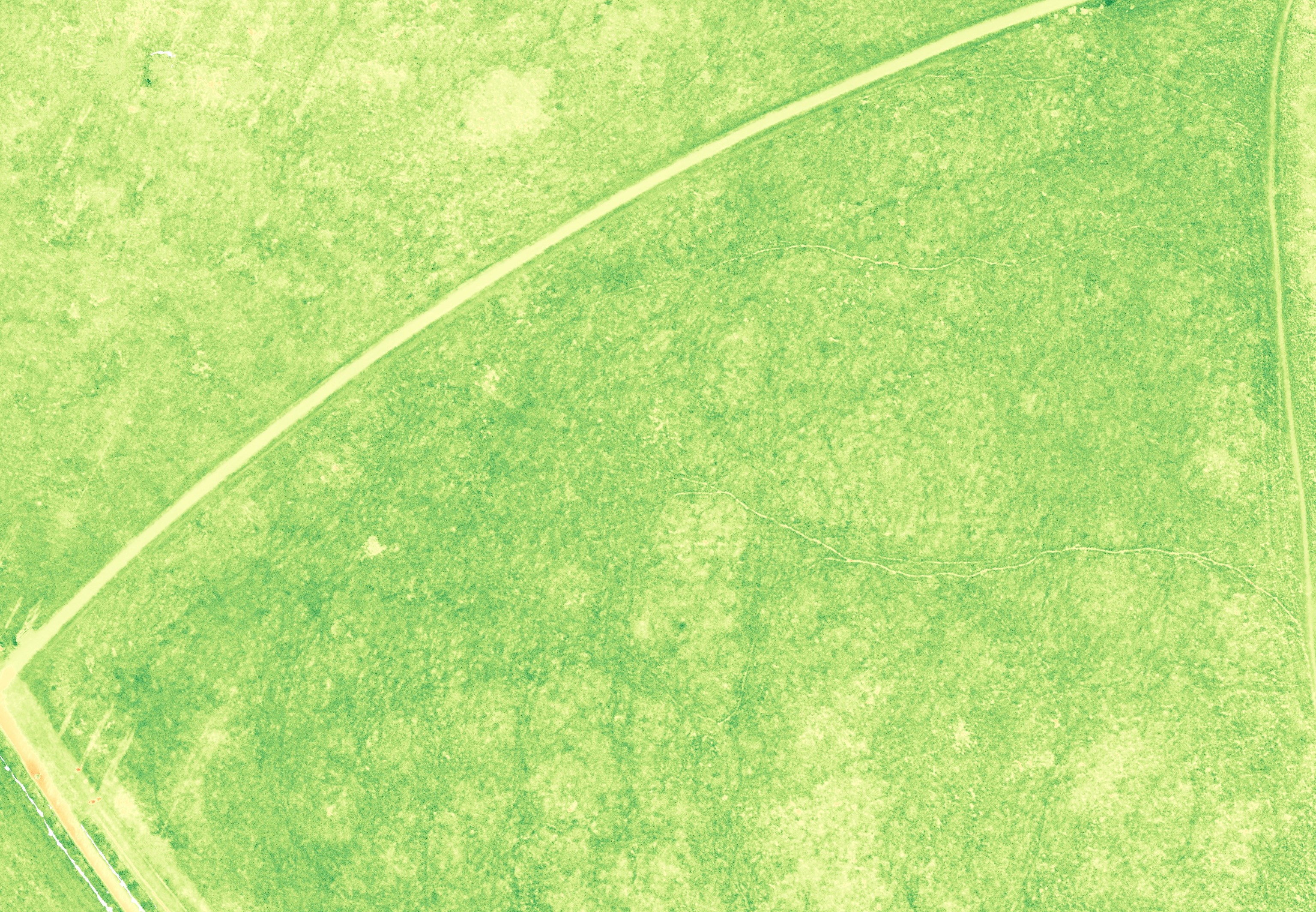
By analyzing agriculture drone pictures and conducting plant inspections, farmers can gain valuable insights into crop health and identify areas requiring attention. This data-driven approach allows for targeted interventions, optimizing resources, and maximizing yields for a more sustainable and efficient farming operation.
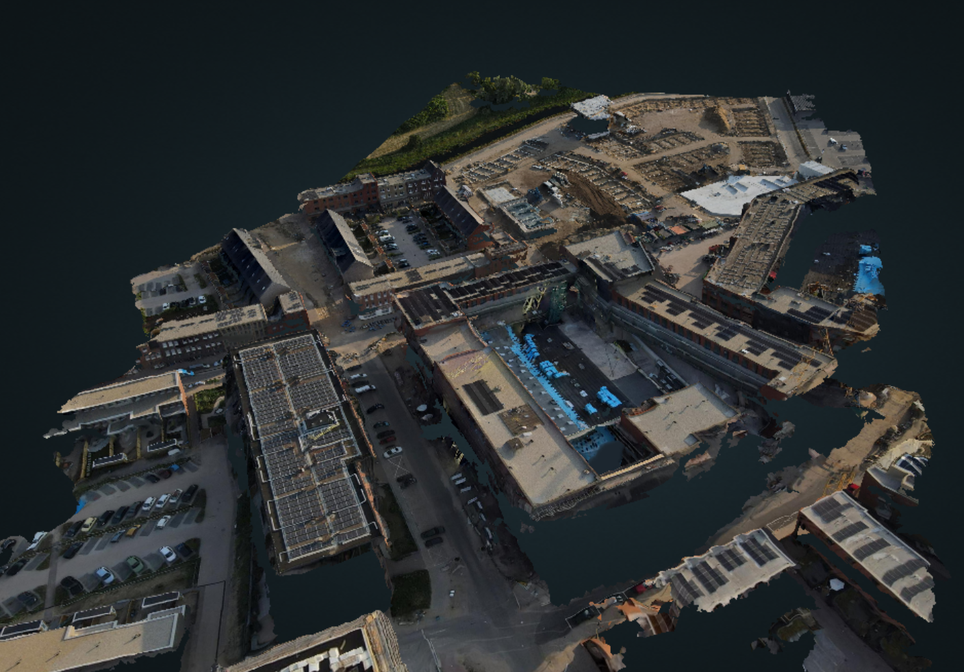
Experience the power of 3D modeling with our drone services. From capturing aerial imagery to delivering detailed 3D models, we help you visualize landscapes, assess infrastructure, and unlock new possibilities for planning, analysis, and decision-making.
Harness the potential of drone images and immersive 3D models to elevate your real estate sales. Showcase properties from unique angles, provide virtual tours, and offer prospective buyers a captivating and realistic experience that helps them envision their future home with unparalleled clarity.